Travel Guide of Cap Ferret in France by Influencers and Travelers
Cap Ferret is a headland, situated at the south end of the commune of Lège-Cap-Ferret in the French department of Gironde and region of Nouvelle-Aquitaine. The headland takes the form of a spit, which separates the Atlantic Ocean from Arcachon Bay.
Download the Travel Map of France on Google Maps here
Pictures and Stories of Cap Ferret from Influencers
7 pictures of Cap Ferret from Bertrand Bouchez, Louis Mornaud, Cyrielle Snr and other travelers

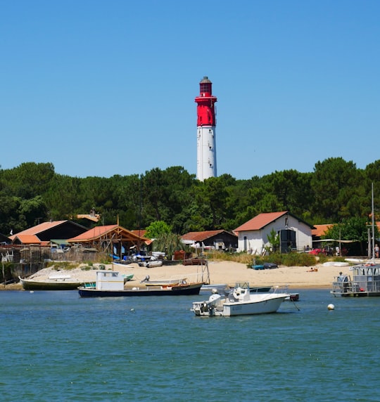
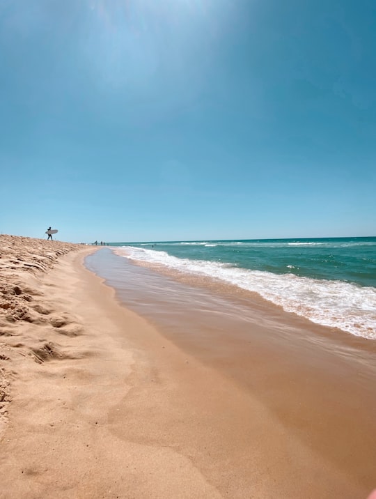
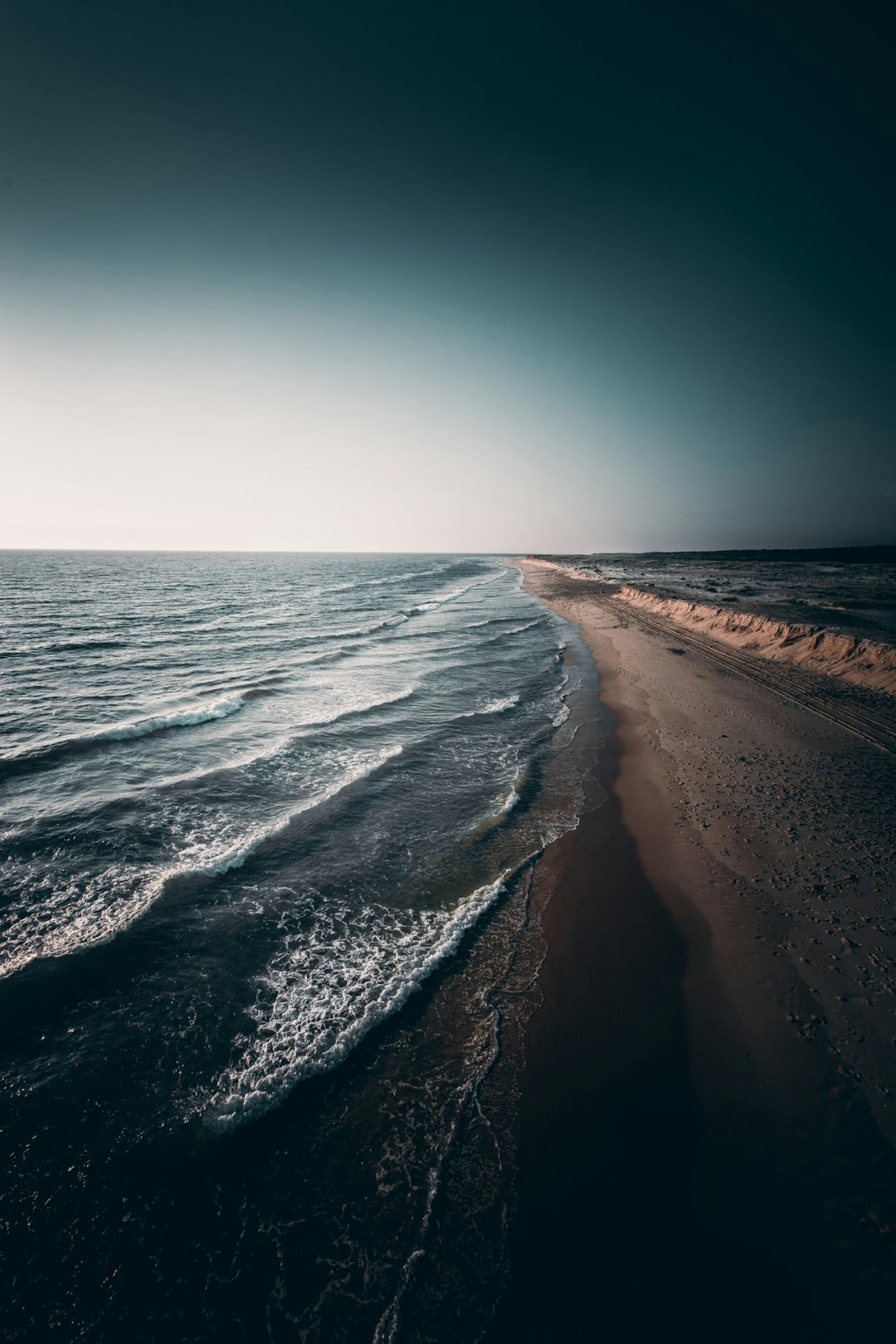
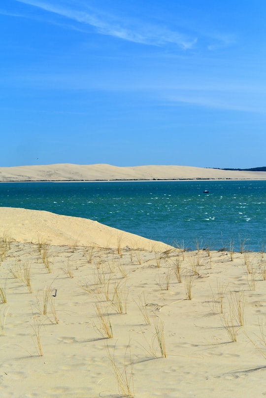
- lighthouse in la conche du mimbault ...click to read more
- Experienced by @yann behr | ©Unsplash
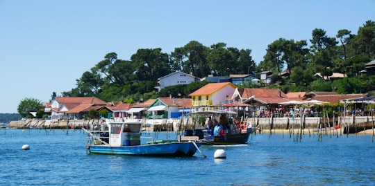
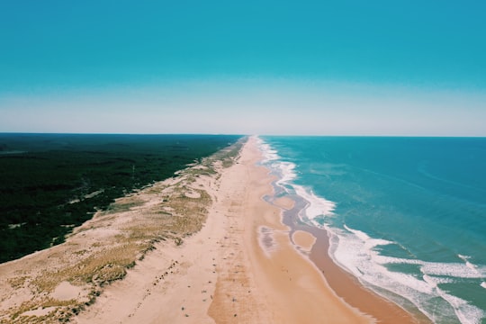
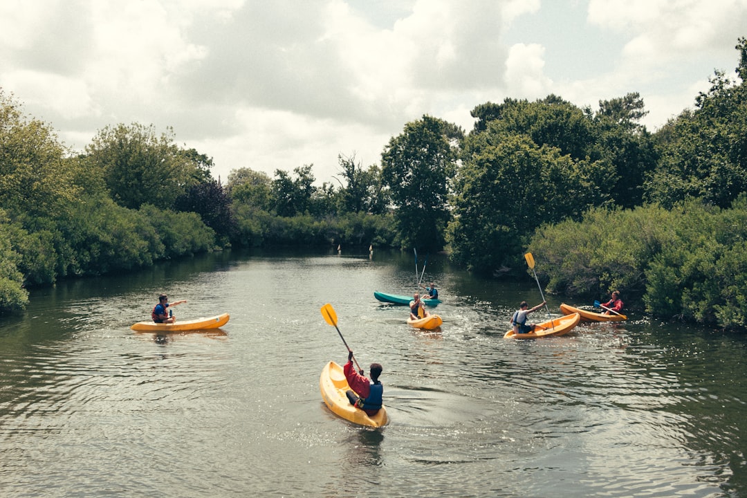
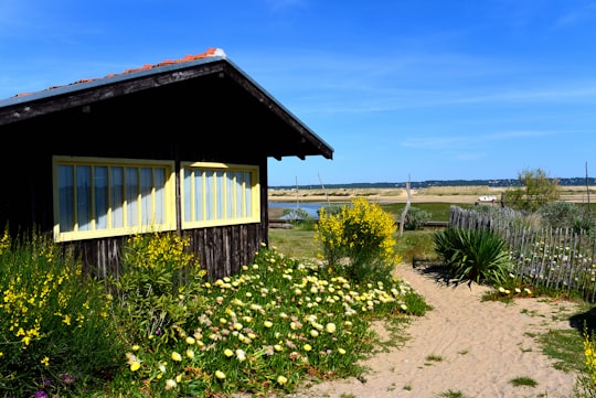
- fishermen small village on le bassin d'arcachon ...click to read more
- Experienced by @yann behr | ©Unsplash
Plan your trip in Cap Ferret with AI 🤖 🗺
Roadtrips.ai is a AI powered trip planner that you can use to generate a customized trip itinerary for any destination in France in just one clickJust write your activities preferences, budget and number of days travelling and our artificial intelligence will do the rest for you
👉 Use the AI Trip Planner
Book your Travel Experience at Cap Ferret
Discover the best tours and activities around Cap Ferret, France and book your travel experience today with our booking partners
Map of Cap Ferret
View Cap Ferret on a map with the the closest popular places nearby
Download On Google Maps 🗺️📲
More Travel spots to explore around Cap Ferret
Click on the pictures to learn more about the places and to get directions
Discover more travel spots to explore around Cap Ferret
🏖️ Beach spots 🏖️ Shore spots 🚢 Lighthouse spots 🌲 Plain spots 🏞️ Waterway spotsWhere to Stay near Cap Ferret
Discover the best hotels around Cap Ferret, France and book your stay today with our booking partner booking.com
Popular destinations near Cap Ferret
Disover the best Instagram Spots around Cap Ferret here


Arès
19 km (11.6 miles) away from Cap Ferret
Arès is a commune in the Gironde department in southwestern France.
Travel guide of Arès


Le Porge
31 km (19.3 miles) away from Cap Ferret
Le Porge is a commune in the Gironde department in Nouvelle-Aquitaine in south-western France.
Travel guide of Le Porge